
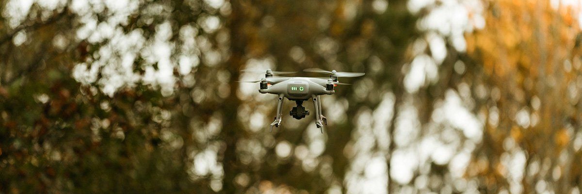
Unmanned Aerial Vehicle (UAV) Surveying
Aerial mapping, measured to survey-grade accuracy.
Our UAVs capture high-quality aerial data used to generate highly accurate orthomosaics, point clouds, 3D models, contour data, and more.
Orthomosaics
Geometrically corrected, measurable aerial imagery
Point clouds
Dense 3D data for existing conditions
3D models
Site models for design and volume analysis
Contour data
Accurate contours ready for AutoCAD
What is an orthomosaic?
Aerial photos you can actually measure.
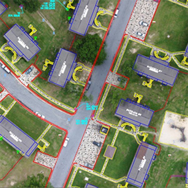
An orthomosaic (or orthophoto) is an image that has been geometrically corrected — "orthorectified" — so the scale is uniform. Unlike an uncorrected aerial photograph, an orthomosaic can be used to make accurate measurements.
Orthomosaics support As-Built, Existing Condition, and ALTA/NSPS surveys.
24hr
We can usually prepare an orthomosaic for an average site within 24 hours.
Have a site that needs mapping?
Tell us about your project and we'll recommend the right deliverables — orthomosaic, point cloud, model, or contours.