Let us survey your land — and mark the foundation for your future.
Professional land surveying, construction staking, and UAV aerial mapping for the greater Columbus area and beyond — built on proven field experience with federal, state, and local projects.
Our licensed surveyors can issue the elevation certificate you need for a flood insurance evaluation.
Elevation certificates →From traditional boundary surveys to advanced UAV systems — fourteen services under one roof.
Full list of services →We've served local and remote clients across the greater Columbus area for over 30 years.
Call 706-562-8714 →Every facet of the surveying industry, handled promptly and professionally.
All surveys are completed with state-of-the-art electronic surveying equipment, and drawings are delivered in AutoCAD — so you meet your deadlines with confidence.
Field research, precise measurement, and a detailed map of your property's boundaries — required for construction permits.
Experienced field engineering and consulting for structures of every scale — including civil and mechanical solar farm staking.
Documentation of your building's elevation and flood zone — the key to flood insurance rates and local ordinances.
Dimensional and vertical data on existing site infrastructure, overlaid against design information for your project.
Quality topographical measurement of elevation, contours, and features to ground your site planning and design.
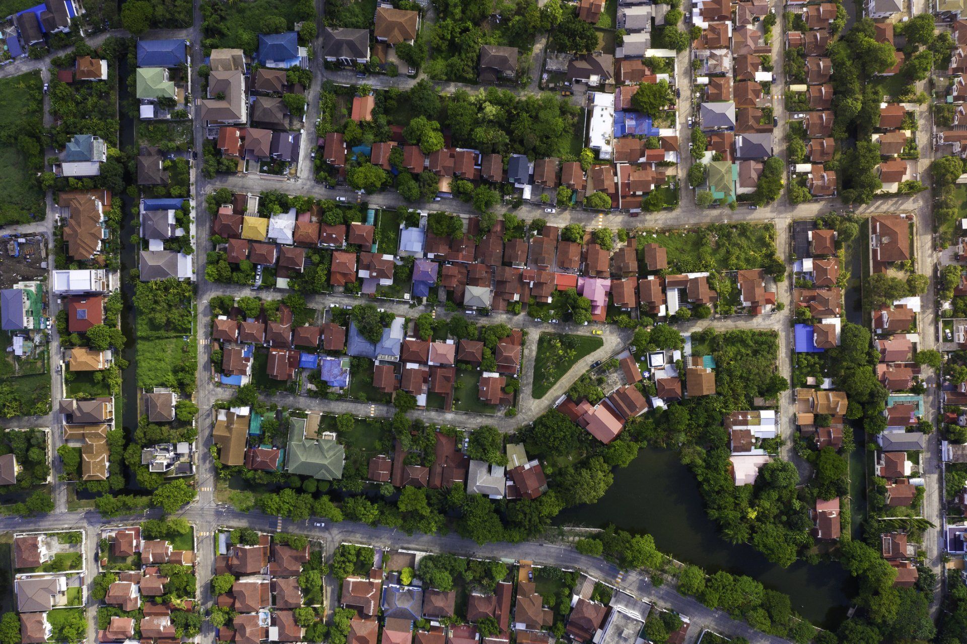
Drone-captured orthomosaics, point clouds, 3D models, and contour data — most sites mapped within 24 hours.
Boundary and property line surveys
A boundary survey identifies the true lines of your property. Our surveyors research public records, perform research in the field, take measurements, and run precise calculations to produce a detailed map of the entire property.
It's also a prerequisite for construction permits — so it pays to get it right the first time.
Schedule a boundary survey →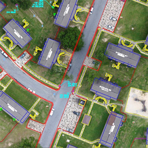

As-built surveys
An as-built survey captures existing site infrastructure and post-build improvements, recording dimensional and vertical data for the property.
Overlaid against your design information, it shows exactly how construction compares to plan — invaluable for any active project.
Request an as-built survey →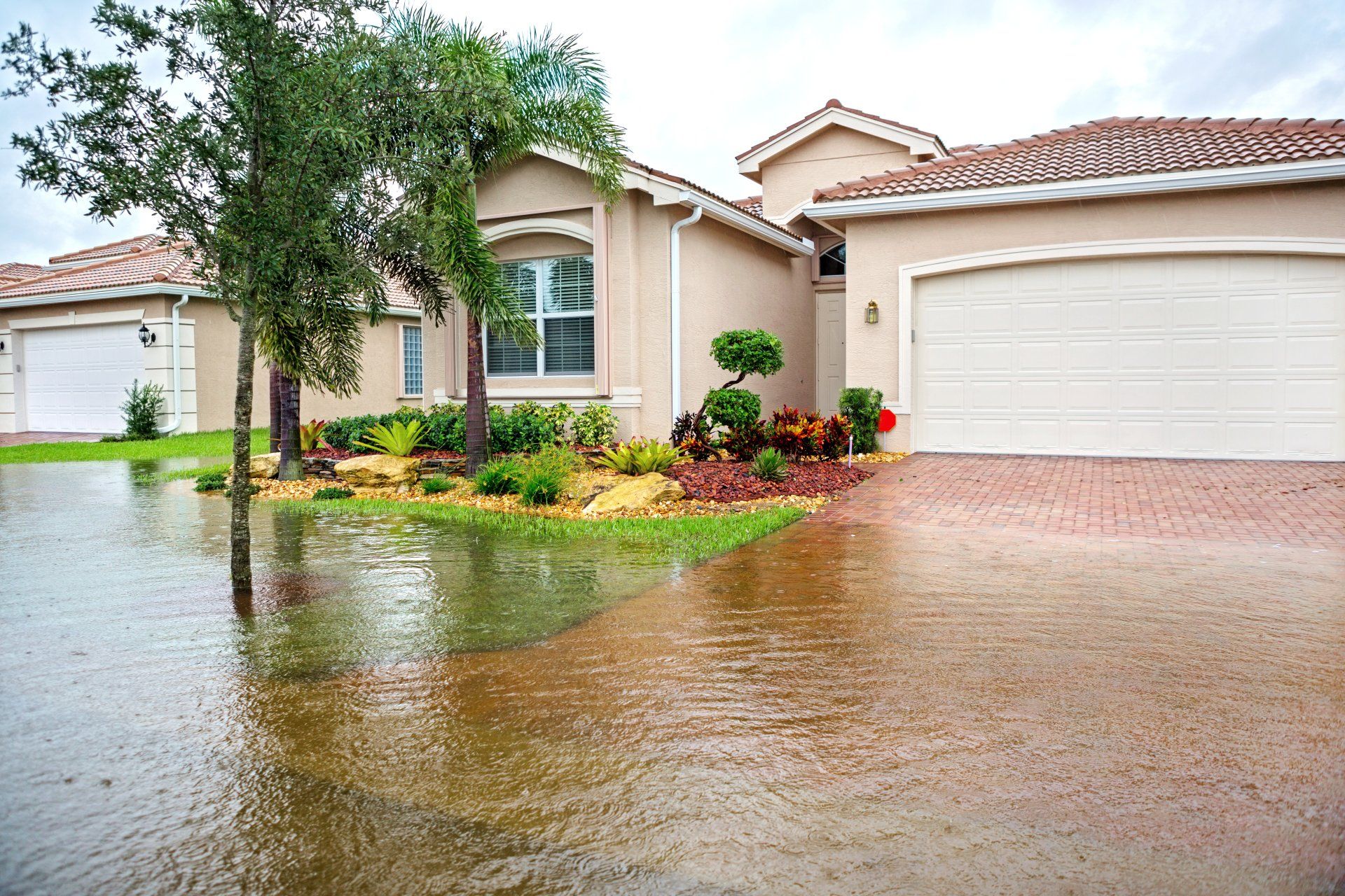
An elevation certificate can lower your flood insurance rate.
It documents your building's lowest elevation, flood zone, and how your property compares to previous flood levels — everything insurers and local ordinances need.